
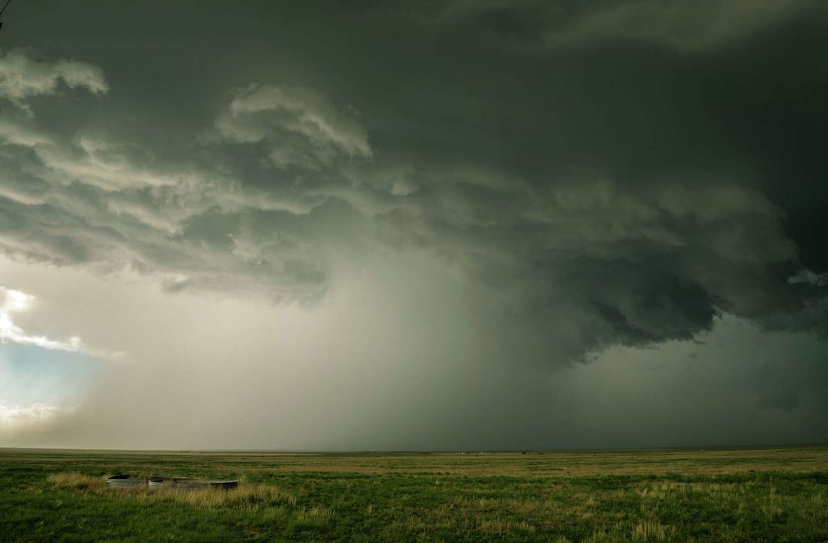
A distinct meteorological divide is developing across Texas as two vastly different weather regimes take hold over the state. While southern and central territories brace for another prolonged bout of intense heat, the northernmost sections are preparing for an incoming cold front that promises to deliver widespread precipitation and significant temperature relief.
According to the National Weather Service, an approaching frontal boundary is scheduled to push into the combined Texas and Oklahoma Panhandles over the course of the week. This incoming system is expected to disrupt the persistent late-summer weather pattern by triggering multiple rounds of showers and thunderstorms while steadily driving down daytime temperatures across the northern plains.
The shift in conditions will not take place overnight, however. Meteorologists note that the workweek across the Panhandle region will initially begin on an unseasonably hot note, with daytime maximums tracking well above normal. Early-week readings are projected to climb into the 90- to 100-degree range, extending the intense warmth that has gripped the territory in recent days.
As the week progresses, the cold front will begin to assert a stronger influence over the area. Forecast guidance monitored by the National Weather Service indicates that the boundary will steadily advance through the combined Panhandles, initiating an incremental and welcome downward trend in afternoon high temperatures.
By the time the frontal system fully establishes itself across the area toward the latter part of the week, daytime highs across the majority of the Panhandle territory are projected to fall to around 80 degrees. This sharp transition represents a marked shift from the persistent warmth that has dominated the northern region.
The most substantial cooling is anticipated to arrive just in time for the weekend. Highs on Friday and Saturday are forecast to be widespread in the low to mid-80s, offering residents across the Panhandles a much-needed break following a couple of months characterized by well-above-normal temperatures on a daily basis.
Alongside the drop in temperatures, the National Weather Service has highlighted a notable increase in convective storm activity. Forecasters expect a medium to high chance of showers and thunderstorms developing directly along the advancing front as well as behind the boundary as it moves across the plains.
Meteorologists emphasized that favorable conditions for rainfall are projected for portions of the combined Texas and Oklahoma Panhandles on each day of the week. While the National Weather Service clarified that these percentages represent regional probabilities rather than a guarantee of daily rainfall for every specific town, the broader environment will consistently support storm development across the collective Panhandle area.
In sharp contrast to the cooling trend unfolding in the north, Central Texas will remain trapped beneath an unrelenting pattern of dangerous, near-record heat. The refreshing air mass associated with the northern cold front is not expected to penetrate the central portion of the state, allowing intense conditions to continue unabated into the following week.
Forecasters warn that Central Texas will see daytime temperatures regularly soaring into the upper 90s and reaching triple-digit maximums. These elevated ambient readings will combine with ambient moisture to produce dangerous heat index values that could peak around 110 degrees in several communities.
In urban corridors such as San Antonio and throughout adjacent Central Texas counties, the continuation of near-record warmth will prolong heat safety concerns. The stubborn atmospheric ridge responsible for the high temperatures shows minimal indication of breaking down in the immediate future, keeping the region firmly in the grip of extreme late-season conditions.
Precipitation prospects will also remain severely constrained across the coastal plains during the initial portion of the forecast cycle. Rain chances are anticipated to stay quite low across coastal areas through the early part of the week, leaving the southern reaches of the state largely dry and exposed to prolonged sun and thermal stress.
There is, however, an indication of possible atmospheric changes later in the week for areas outside of the northern Panhandle. The National Weather Service noted that chances for rain could begin to increase across a broader number of regions by Thursday and Friday, potentially offering scattered precipitation to a wider footprint.
Until those expanded rain chances materialize, the stark regional variation in forecast conditions underscores the vast size and diverse climate of the state. While Panhandle communities prepare for thunderstorm activity and a welcome drop into the 80s, Central Texas residents will need to continue coping with triple-digit heat indexes and persistent, near-record warmth.







(0)